Imagine stepping out with your coffee as the sun lifts over the levee, a light breeze coming off the Sacramento River, and kayaks sliding into the water at first light. If you are drawn to that rhythm, Pocket and Greenhaven offer a calm, river-centered lifestyle within city limits. At the same time, buying near levees and water means doing a bit more homework. In this guide, you will learn where to access the river, how people get around, what homes look like, and the practical trade-offs to plan for. Let’s dive in.
Pocket and Greenhaven overview
Pocket and Greenhaven sit inside a sweeping bend of the Sacramento River in the southwest part of the city. The area is roughly eight square miles and is bounded by 35th Avenue, Freeport Boulevard, and the river. The City’s 2040 Community Plan describes it as primarily residential, supported by neighborhood shopping centers, schools, and riverfront parks and parkways. The plan estimates about 45,700 residents and 6,500 jobs in this planning area. You can see the city’s summary in the Pocket/Greenhaven community chapter of the General Plan for boundaries and land use details.
- Read the City of Sacramento’s Pocket/Greenhaven community chapter for context and maps in the adopted 2040 General Plan.
On the water: access and fun
Garcia Bend Park launch
Garcia Bend Park at 7654 Pocket Road is the main public launch point on this side of the river. The park spans about 18 acres with picnic areas, sports fields, restrooms, off-street parking, and an official boat ramp with boat-trailer parking. City launch fees and annual passes apply, and the park connects directly to the Pocket Canal and the Sacramento River Parkway corridor. Check the City’s Garcia Bend Park page for current hours, fees, and any closures.
- See the City page for Garcia Bend Park for facilities and ramp information.
Small riverfront green spaces
You will also find smaller river-adjacent green spaces like Ellsworth C. Zacharias Park and other pocket parks that locals use for birding, shore fishing, and launching small non-motorized craft where allowed. These spaces are identified in city planning materials and help stitch together everyday access to views, paths, and the Parkway corridor.
- Review the Pocket/Greenhaven community chapter in the City’s General Plan for park references and greenway context.
Marinas and slips
If you need a full-service marina, most larger facilities along this reach of the Sacramento River sit across the channel near West Sacramento or along the Yolo County bank. On the Pocket side, some riverfront homes and lake communities include private docks or small slip areas. If a listing mentions a slip, confirm whether it is a private HOA or lot-owned amenity, or held at a commercial marina, and whether waiting lists apply.
Levee-top trail plans
The City’s multi-phase Sacramento River Parkway project aims to create a paved, ADA-compliant trail along the east levee through the Pocket. A key segment is planned between Garcia Bend Park and Ellsworth C. Zacharias Park. The City has advanced environmental documents and begun negotiating easements on privately owned levee tops. When built, this will improve continuous bike and walk access along the river. It is also a sensitive topic for nearby homeowners because of privacy and access concerns, so you should verify the latest project status if you are buying near the levee.
- Learn more on the City’s Sacramento River Parkway project page.
Homes and neighborhood feel
Typical styles and eras
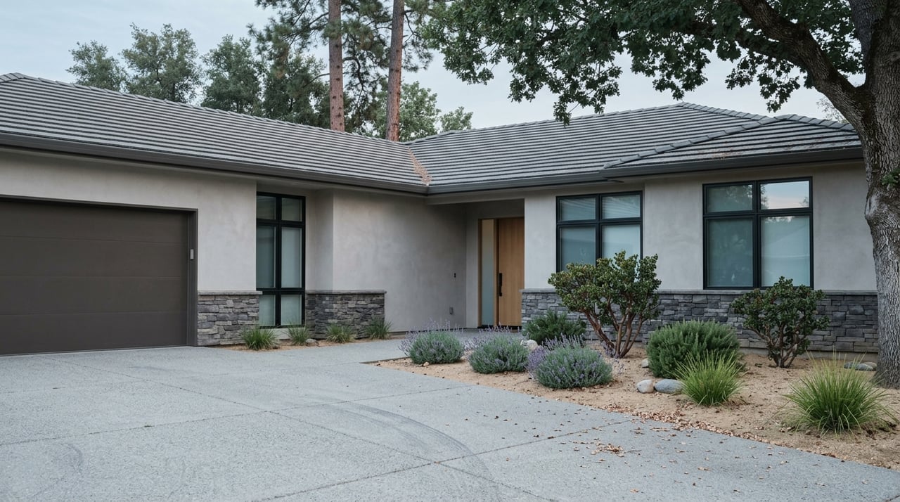
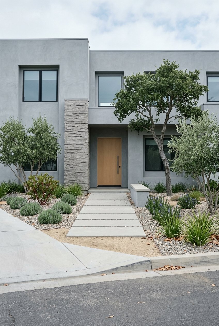
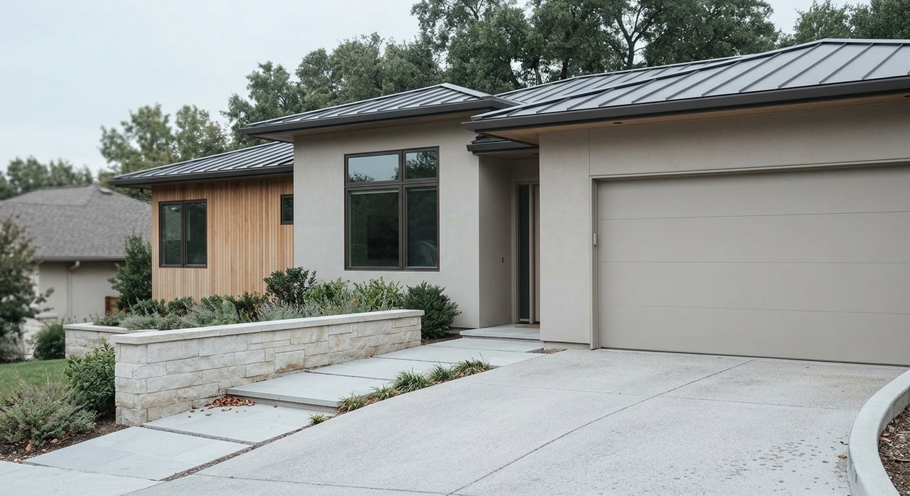
Pocket and Greenhaven offer a mix of suburban single-family neighborhoods from the 1970s through the 1990s, mid-century ranch homes in areas like Little Pocket, newer custom builds, and several gated lake communities with HOA-managed amenities. The feel is residential and park-oriented, with shopping nodes tucked into the neighborhood fabric.
Riverfront vs. lakefront
Be sure to distinguish true river frontage from lake frontage. Lake Greenhaven and the private lakes around Riverlake are manmade features that date to historic clay and brick workings. Many properties advertise “lakefront” lots with docks as part of gated enclaves, while true Sacramento Riverfront lots sit along the levee or riverbank. Where allowed by deed and local rules, some riverfront homes may have private docks. Always confirm ownership, riparian rights, and any HOA or county restrictions tied to a specific address.
- Read a concise local history of the manmade lakes and clay works origins.
Pricing context
Waterfront and gated properties often trade at a premium over neighborhood medians. As a point-in-time reference, one snapshot placed the Pocket median sale price around 596,000 dollars in February 2026. Treat that as a dated benchmark only. Your exact value will depend on location, water access, updates, and current market conditions.
Getting around
Driving
Interstate 5, Freeport Boulevard, Florin Road, and Riverside Boulevard are the main routes serving Pocket and Greenhaven. These arterials connect directly to downtown Sacramento and to regional highways. If you are testing commute patterns, drive your likely route during typical peak times.
- See the City’s Pocket/Greenhaven planning chapter for the area’s major thoroughfares.
Transit
Sacramento Regional Transit serves the Pocket and Greenhaven corridor with bus routes, including some peak-period commuter runs. Check SacRT schedules for the latest route numbers and times before you plan a car-light routine.
- View the SacRT bus schedules list to confirm current service.
Biking and walking
Pocket’s internal greenways and the Pocket Canal paths already make short trips on foot or bike simple. As the Sacramento River Parkway segments are completed, off-street access and riverfront connectivity will strengthen further.
- Follow the City’s Parkway project page for progress updates.
The trade-offs to plan for
Flood and levee reality
The east levee of the Sacramento River that protects parts of Pocket and Greenhaven does not currently meet modern federal levee standards. Identified issues include seepage, underseepage, slope stability, and erosion. Federal and regional partners are advancing levee improvement projects, and environmental documents discuss potential consequences if a levee failed without mitigation. In worst-case modeling, inundation depths in portions of Pocket–Greenhaven could reach around 20 feet. This is why due diligence on flood risk is essential for any river-adjacent purchase.
- Read the USACE ARCF Sacramento River East Levee environmental analysis for levee issues and project scope.
Insurance and flood zones
Check the FEMA Flood Map Service Center for property-specific flood zone data, community panels, and elevation details. Talk to your insurance advisor about NFIP and private flood insurance options. Flood mapping and levee accreditation can influence premiums, loan requirements, and certain permit constraints.
- Verify a property’s FEMA flood zone at the FEMA Flood Map Service Center.
Construction impacts and timing
Levee projects can change risk profiles over time and may bring temporary construction, staging areas, or haul routes near the river. If you are evaluating a specific address, confirm current USACE and local project status so you know what to expect during the coming seasons.
- See the USACE environmental documentation for project areas and implementation details.
Easements and privacy on the levee
Portions of the levee top are privately owned. The City is negotiating easements to build a continuous Sacramento River Parkway trail. Buyers should check whether a property includes an existing public easement, a cross-levee fence, or is within an area of pending right-of-way negotiations. The City has stated that right-of-way acquisition will precede trail construction and that safety plans will be developed.
- Review the City’s Parkway project page for right-of-way and safety planning notes.
Water quality and advisories
Local monitoring programs report seasonal cyanobacteria blooms and variable bacteria counts in regional waterways, especially during warmer, low-flow months. Before you plan water-contact recreation like swimming or wading, check current county or State Water Board advisories. Many residents choose kayaks, paddleboards, and boating from official ramps and marinas as lower-contact ways to enjoy the river.
- Read the Sacramento Environmental Commission’s cyanobacteria report for background and health guidance.
Quick buyer checklist
Use this list to focus your due diligence:
- Verify the property’s FEMA flood zone and whether it is behind an accredited levee. Request any elevation certificate and LOMA or LOMR history if available. Start at the FEMA Flood Map Service Center.
- Ask the seller or HOA about docks and slips. Confirm ownership, permitted uses, maintenance responsibilities, and any waiting lists. If a commercial slip is mentioned, verify directly with the marina.
- Confirm current levee construction or staging near the property. USACE and local project pages list staging areas and haul routes for SREL projects.
- Check recent county or State Water Board advisories for swimming and fishing, including any harmful algal bloom alerts.
- Discuss homeowners insurance and flood insurance quotes early. River and lake proximity can affect coverage and costs.
Day-to-day life on the river
A typical day in Pocket or Greenhaven can be as simple as a morning walk along the levee with wide river views, an afternoon paddle from Garcia Bend, and a quiet evening on a lakefront patio watching herons sweep across still water. Neighborhood shopping centers like Riverlake Village, Greenhaven Plaza, and Lake Crest Village keep errands close. You also find local schools nearby, including John F. Kennedy High School, a major neighborhood anchor served by the Sacramento City Unified School District.
- Explore the John F. Kennedy High School page at SCUSD for school information.
Community connection
An active civic voice helps keep river issues front and center. The Pocket–Greenhaven Community Association organizes events and engages on topics such as parkway access and neighborhood concerns. If you want to plug in, explore their website to see how neighbors are shaping local decisions.
- Visit the Pocket–Greenhaven Community Association for community updates and involvement opportunities.
Ready to explore a river move?
River living should feel inspiring and informed. If you are weighing lakefront versus riverfront, evaluating levee and flood considerations, or planning a buy-before-sell move, you deserve clear steps and confident representation. For a tailored plan that blends neighborhood insight, financing fluency, and a structured marketing or acquisition strategy, connect with Darya Ghomeshi. Together, you can map the right property, the right timing, and the right protections for your goals.
FAQs
What defines Pocket and Greenhaven in Sacramento?
- These neighborhoods sit within a large river bend in southwest Sacramento and are described by the City as primarily residential with parks, greenways, shopping centers, and schools.
Where can you launch a boat or kayak in Pocket?
- Garcia Bend Park offers the primary public boat ramp with parking, restrooms, and connections to the Pocket Canal and Parkway corridor, with city launch fees and annual passes.
How risky is flooding near the Sacramento River levee?
- USACE reports the Sacramento River east levee does not meet current federal standards and models show worst-case inundation depths up to around 20 feet, which is why due diligence and insurance checks matter.
What should you check about docks and slips when buying?
- Confirm if a slip is private to the lot or HOA, or held at a commercial marina, and whether it is transferable. Ask about permitted uses, maintenance, and waiting lists.
Is swimming recommended in the Sacramento River here?
- Conditions vary. Check county or State Water Board advisories for cyanobacteria and bacteria counts before water contact. Many residents choose kayaks, paddleboards, and boating.
How do you commute from Pocket and Greenhaven?
- You have direct links via I-5, Freeport Boulevard, Florin Road, and Riverside Boulevard. SacRT bus service also operates in the corridor. Check SacRT schedules for current routes.
What is the Sacramento River Parkway plan?
- The City plans a paved, ADA-accessible levee-top trail through the Pocket, including a segment between Garcia Bend and Zacharias Park, with easements being negotiated before construction.