What does the Sacramento River Parkway final design mean for nearby home values?
Final design means the City is preparing plans, specifications, and estimates for construction, not that the trail is built or open, so nearby home values have no proven trail premium or discount yet. The effect on any one home will depend on how close it is, how the access points, fencing, and parking are drawn, and how well the trail is maintained. No Sacramento-specific study has isolated a price premium or discount for this trail, so be skeptical of anyone who quotes you a percentage.
Key Takeaways
- Final design is a planning milestone: the City's current funding covers preliminary engineering, environmental clearance, and final design for both project segments, not an opened trail.
- Recent local market data shows a median sale price of $508,258 for all home types sold in Sacramento from July to September 2026, up 3.3% from $492,000 a year earlier, and that citywide figure says nothing about a trail effect.
- A home abutting the levee, a home near an access point, and a home several blocks away can each land on a different balance of benefits and tradeoffs.
- No verified construction-start date, completion date, or opening date has been established from final-design status alone.
- The final plans for alignment, access, fencing, lighting, and parking are the documents that matter for your specific address.
What does reaching final design actually mean for the trail?
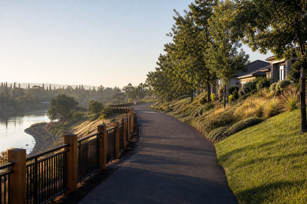
It means the project has moved into producing the construction documents, and nothing more. The City of Sacramento's Sacramento River Parkway Project page describes a Department of Public Works effort to complete a levee-top trail through the Pocket neighborhood, divided into multiple phases and segments.
When I talk with owners and buyers near a public project like this, the first thing I do is separate the stages, because people tend to collapse them into one:
- Environmental clearance
- Final design (plans, specifications, and estimates)
- Construction funding
- Bidding and contractor selection
- Active construction
- Trail opening
The City's description of current funding covers preliminary engineering, environmental clearance, and final design. It does not establish a construction-start date, a completion date, or an opening date, so I'd treat any timeline you hear secondhand as unconfirmed until the City or a funding agency announces it.
The City is also seeking public input while the project is designed. That matters for you, because details like trail alignment, crossings, landscaping, fencing, lighting, and construction effects are still being shaped.
How does direct trail adjacency change nearby home values compared with broader neighborhood access?
Adjacency changes the equation more than anything else, because the benefits and drawbacks both get stronger as you get closer. National research generally finds that proximity to parks and trails can support housing demand, but the effect is not uniform. Proximity, visibility, privacy, noise, parking, access design, and upkeep can each push the result in either direction.
Here is how I frame the three situations for clients weighing nearby home values around the Pocket levee:
Location relative to the trail | Possible upsides | Possible tradeoffs | What to check in the final plans |
|---|---|---|---|
Directly abutting or facing the levee | Immediate access and open views | More foot and bicycle activity, reduced privacy, lighting questions, maintenance activity, construction exposure | Fencing, setbacks, vegetation, lighting, maintenance access |
Near a formal access point, crossing, or parking area | Short walk to the trail, convenient entry | Concentrated use, possible traffic or parking changes, possible staging activity during construction | Access point locations, crossings, any proposed parking, staging areas |
Within walking or cycling distance, several blocks away | Recreation and connectivity without daily trail frontage | Smaller effect overall, in either direction | Route to the nearest access point, street changes |
If your home abuts the levee
You have the most to gain and the most to weigh. A rear or side lot line on a levee-top trail can read as a lifestyle feature to one buyer and a privacy concern to the next. The deciding factors are physical: how the trail is separated from your property, what fencing and landscaping are planned, and how the lighting is designed.
Resale appeal for this group is the hardest to predict from a distance. I'd want to see the actual alignment drawn against your parcel before saying anything about value.
If your home is near an access point
Access points concentrate activity. A home a block or two from a formal entry may enjoy a very short walk to the trail, while also sitting where users arrive, park, or gather. The final parking and traffic plan has not been verified in the information available, which makes this the category I'd watch most closely as plans develop.
If your home is several blocks away
This is where the benefit is usually cleanest: a recreational route and better connectivity without the daily exposure. The honest caveat is that the effect on price is also likely to be the smallest and the hardest to separate from everything else moving the market. For a broader look at how I think about water-adjacent living in this part of town, see my Sacramento riverfront homes guide for Pocket and Greenhaven, and for how trail access fits into everyday life around the region, my outdoor lifestyle and trail access guide.
What should buyers and sellers check in the final plans before deciding?
Check the design documents for your exact street, not the headline. The City's project page is the starting point for project documents and public-engagement information, and these are the items I'd look for:
- Alignment, trail width, and surface
- Access points and crossings
- Fencing, vegetation removal, and new planting
- Lighting and signage
- Drainage and maintenance access
- Any proposed parking or traffic changes
Construction is the other variable. Even a trail that turns out to be a long-term positive can bring temporary disruption to the homes closest to the work, such as noise, equipment, and staging. Because no construction schedule has been verified, I'd avoid making a purchase decision that depends on a date nobody has confirmed.
For buyers
Don't pay a trail premium on faith. Price the home as it stands today, and treat any future trail benefit as a possible upside rather than something built into the offer. If the home is directly adjacent, weigh the privacy and activity tradeoffs just as seriously as the views.
For sellers
Describe what is true and documented. A buyer will respond better to a clear picture of your lot's relationship to the planned design than to a vague promise about future value. If you're curious where your home stands today, my guide on how much your home is worth in Sacramento is a good starting point, and your specific number depends on condition, street, and timing. That's where a local market analysis comes in.
How does the broader Sacramento market shape a trail-related decision?
The citywide market sets the backdrop, and right now it is balanced and moving at a steady pace. These figures are for all home types within Sacramento city limits, and they are area-level numbers, not a read on the Pocket or on any trail effect:
- Recent local market data shows a median sale price of $508,258 for homes sold July to September 2026, versus $492,000 in the same window a year earlier.
- The median price per square foot for those sales was $329, and 1,050 homes sold, compared with 1,035 a year earlier.
- Homes sold at an average of 99.9% of list price, with 42% selling above list and 41% below.
- The median time from listing to going under contract was 14 days, and 39% of homes went under contract within two weeks.
- Months of supply stood at 3.0, up from 2.7 a year earlier, and 35% of listings carried a price cut averaging 3.6%.
- Homes for sale now total 1,546 active listings, with 623 new listings in the last 30 days.
What that tells you is that buyers have a little more room than they did a year ago, and pricing discipline matters. A home near the trail still has to compete on its own condition, street, and price. If you want to understand how to read numbers like these, my Sacramento housing market guide walks through it.
I'm glad to look at your address against the City's current project documents and talk through what it could mean for your plans. This is exactly the kind of question I work through with clients before we ever list or write an offer.
If you'd like to hear from past clients, you can read my reviews on Zillow.
FAQ
Will the Sacramento River Parkway trail increase my Pocket-area home's value?
It may support demand, but no verified study measures a price premium for this trail. National research suggests parks and trails can help housing demand, yet the result depends on distance, privacy, parking, and upkeep. Treat nearby home values as uncertain until the final plans and a local paired-sales analysis say otherwise.
Is living directly next to the trail better or worse for resale?
It can be either, depending on the design and the buyer. Direct adjacency brings access and views, but also more activity, less privacy, and possible lighting and maintenance considerations. The fencing, setbacks, and landscaping in the final plans will tell you far more than the trail's existence alone.
How close does a home need to be to benefit from the trail?
There is no verified distance at which a benefit begins. Homes within walking or cycling distance gain a recreational route, while homes near formal access points may see a different mix of convenience and activity. I'd evaluate your route to the nearest access point rather than relying on a mileage rule.
Will the final design add parking or change traffic near access points?
A final parking plan has not been verified, so no one can say yet. Parking, crossings, and traffic near access points are exactly the details to check in the City's design documents and public-engagement materials as they develop. Homes near those points are the ones most likely to notice a change.
Does final design mean the trail is funded and ready to build?
No. The City's description of current funding covers preliminary engineering, environmental clearance, and final design, and final design produces the plans, specifications, and estimates for a future construction phase. A construction-start date has not been verified, so watch for a current City announcement before assuming one.
The core takeaway: final design is a milestone on paper, and your home's relationship to the trail, not the trail's existence, is what shapes its value. I pair local market data with a close reading of the plans so you can make a decision about your own address with real information.
If you're weighing a move near the levee, I'm glad to talk it through, no pressure, just perspective. And if you're curious what your home is worth in today's market, I'll put the numbers together for you, no strings attached.
Equal Housing Opportunity. Darya Ghomeshi is a real estate salesperson licensed by the state of California, affiliated with Compass California II, Inc. | CA DRE# 01527235. Regulated by the California Department of Real Estate. This article is general information, not legal, tax, or financial advice; confirm your own numbers with your closing agent, tax advisor, or lender.